Profile, History and Statistics
On this page:
Profile
Located in Western Australia's central Wheatbelt region, 235km south-east of Perth, is the friendly community of Corrigin, predominantly a farming community with cereal cropping and sheep its main industries.
Corrigin's pro-active approach in improving all facets of country living mean this picturesque town is a great alternative to the city and offers all the necessary services including medical, education, recreation, economic and social facilities.
It is only in the country that you can develop a relationship with the whole community, where everyone knows you and you know them. Over 1,000 proud and friendly locals are keen to welcome all visitors and prospective residents to Corrigin and hope that you will enjoy our town as much as we do.
History
The Noongar Aboriginal People have lived and cared for this land for over 65,000 years. For generations a profound connection has existed with this land through rich cultural practices, knowledge of local ecosystems, and traditions that helped sustain this environment, and that connection continues today.
The townsite of Corrigin was first gazetted in 1913 as ‘Dondakin’. This name was derived from the adjacent railway siding, which in turn was a form of the Aboriginal name of a nearby soak, Dondakine Soak. The local name, "Corrigin", was not accepted by railway authorities at first because of the likelihood of confusion with another siding called "Korrijinn". Eventually, due to public protest, Korrijinn was changed to "Bickey", and Dondakin changed to Corrigin on 15 May 1914. Corrigin is named after Corrigin Well, another local Aboriginal name, first recorded in 1877. The meaning of the name is not known.
Before 1908, the only connection Corrigin had with the outside world was the railway track which ran to Southern Cross. At that time it was practically impossible to get anyone to take up land near the rabbit proof fence. Sheep were however run in the district as early as the 1860s with the leases for the Parker family extending down into the present Shire of Corrigin Shire area. A boom in sandalwood prices in the early 1880s saw sandalwood cutters move in to cut out as much of the aromatic timber as they could find. However it wasn't until the early part of the twentieth century that significant numbers of people moved into the area to take up land and to settle permanently.
Corrigin Road Board
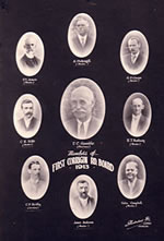 Whilst the first settlers of the Corrigin District arrived in the late 1800's, the Road Board was not established until 1913 when the Kunjin Road Board was born under the terms of The Roads Act, 1911 and gazetted on the 4th February 1913. The first Kunjin Road Board members held their meetings in a small timber and iron building with their first ever purchase being a billy, tea and sugar. After only 3 meetings it was decided to shift the meeting venue to the new townsite of Corrigin, as Kunjin was no longer under consideration as the major rail junction.
And so the Corrigin Road Board came to be, representing 6 divisional wards in the district, these being Kunjin, Bullaring, Kurrenkutten, Dondakin, Kondinin and Central (Kondinin replaced later by Wogerlin). The building was moved from Kunjin to Corrigin and served as the meeting place until 1923, when the new Road Board Office was constructed. The Board received 3 tenders for the construction of the new office, and accepted the tender from Messrs DH Braidwood for a tendered price of 945 pounds. Located in Goyder Street this is one of a few rural Roads Board buildings remaining. The foundation stone was laid by Coulson Murphy Esq, Chairman of the Corrigin Road Board on 15th October 1923. The Road Board Offices ceased being used as the Shire’s administration offices and library in 1963. Over the years, it has been used as a museum, medical consulting rooms, café, small business office and today hosts the Corrigin Farm Improvement Group.
In 1961 the Corrigin Road Board became the Corrigin Shire Council and in 1963 new Council Offices were built, including the Library at a cost of 16,000 pounds. The building reflected the times with its 1960's design, no changes were made to the outside of the building until 2003 when construction of the Corrigin Community Resource Centre began. The centre adjoins the Council Offices and has resulted in a very modern and stylish building.
Corrigin Town Hall
One of Western Australia’s largest and most ornate 1920s town halls and its adjacent Road Board Office have been recognised through the building's entry in the State Heritage Register.
State Heritage Office Executive Director Graeme Gammie said at the time of its construction in 1929, the Corrigin Town Hall was regarded as the finest structure of its kind outside Perth.
“With its elaborately designed façade, barrel vaulted plaster ceiling and ornate entrance decorated with classical motifs, the building was heralded for its artistic conception and technical design,” Mr Gammie said.
“Its design certainly reflects optimism of the period and the significant growth experienced in Corrigin in the 1920s as the railways assisted agricultural expansion and the area was populated with hundreds of returning discharged soldiers under the Soldier Settlement Scheme.”
The Town Hall and Corrigin Road Board Office (1923) were designed by renowned architect Percy W. Harrison, who was a foundation member of the West Australian Institute of Architects.
“Throughout its 80 year history, the Town Hall has been the centre of social activity and has hosted films, plays, exhibitions, dances, the final of the Miss Corrigin competition, wedding receptions and 21st celebrations,” Mr Gammie said.
“It has been the venue for the annual ANZAC Day celebrations since 1930 and in the 1940s and 1950s, also served as a court room and infant health clinic.
“Today, the hall continues to be used for a variety of community celebrations and functions.
Corrigin - a Town of Windmills
Corrigin was widely known as ‘A Town of Windmills’ due to the abundant supply of ground water. Almost every home had a windmill until 1960 when the town was supplied with scheme water. The unique Corrigin town entry statements on Brookton Highway are indicative to the district, with a windmill, water tank, trough and post & rail fencing.
Corrigin Pioneer Museum
Housing the history of our days gone by, a worthwhile visit whilst in Corrigin. View the collection of tools and restored farm machinery, including tractors in working order, see the blacksmiths shop, the one room school, the shearing shed, old district photographs, clothing and other pioneer memorabilia. The Pioneer Memorial Wall at the entrance to the Museum commemorates early settlers. Please call in for a visit, you will be surprised!
| Address |
Corner Kunjin Rd and Kirkwood St |
| Open Hours |
Sunday 2.00pm-5.00pm
Wednesday 1.00pm-4.00pm
Other days by prior arrangement - Phone (08) 9063 2930 or (08) 9063 2225
|
| Entry Fees |
ADULTS $5.00
CHILDREN Free (accompanied by an Adult) / Unaccompanied Children: $0.50 |
| Phone |
9063 2930 |
Shire Statistics
Shire Statistics
|
3,095 sqkm
|
| Area of Parks & Gardens |
101 sqkm
|
| Distance from Perth |
234 km
|
| Shire Revenue |
$7,987,471
|
| Population |
1,146 (source ABS 2016)
|
| No. of Rate Assessments |
835 (source ABS 2016)
|
| No. of Dwellings |
558
|
| Length of Roads |
Sealed 405.4km, Unsealed 767.6km
|
| Localities in Area |
Corrigin, Bullaring, Bulyee, Bilbarin.
|
| Local Industry |
Farming (wheat, sheep etc), Steel Fabrication, Machinery Dealers and Manufacturers, Flour Mill.
|
| Library |
2,500 books (in conjunction with the WA State Library) located at the Corrigin Community Resource Centre, 55 Larke Crescent, Corrigin
|
| Education |
Child Care, Pre-primary, Primary and District High School.
|
| Health Care |
Multi Purpose District Hospital with permanent care, Resident Doctor and Surgery, Visiting - Dentist, Chiropractor, Physiotherapist, Optometerist, Podiatrist, full time Pharmacy, Child Health Clinic.
|
| Recreational & Leisure |
The Corrigin Recreation Precinct, O'Shea Place, has undergone a massive transformation with the construction of the Corrigin Recreation and Events Centre. This new multi-purpose sports and community facility compliments the high quality sports fields located at the precinct.
There is a 6ha fully reticulated grassed area, including football oval and separate hockey field with WAFL standard lighting on the football oval. There is an Indoor Sports Hall, Squash Court, Function Room and also two outdoor netball courts and two outdoor basketball courts, both with lighting.
The community has a wide range of active sporting clubs including football, cricket, hockey, netball, basketball, tennis, 18 hole golf, lawn bowls, social squash, swimming, floorball, badminton, pistol/rifle shooting and darts.
A refurbished 50m swimming pool with toddlers pool is also located next to the sporting precinct. The outdoor pools are complimented by a fully heated Hydrotherapy Pool, along with the modern changerooms and pool kiosk providing an excellent aquatic facility.
|
| Utilities |
Western Power (240v AC), Water Corporation (scheme water & sewerage), mobile phone & ADSL broadband, cylinder gas (supplied locally) Waste – waste transfer station with kerbside waste & recycling service in the Corrigin town site.
|
| Plant & Machinery |
The Shire operates a modern fleet of road building and earthmoving equipment as well as horticultural and civil works equipment. |
| Staff |
31 FTE |
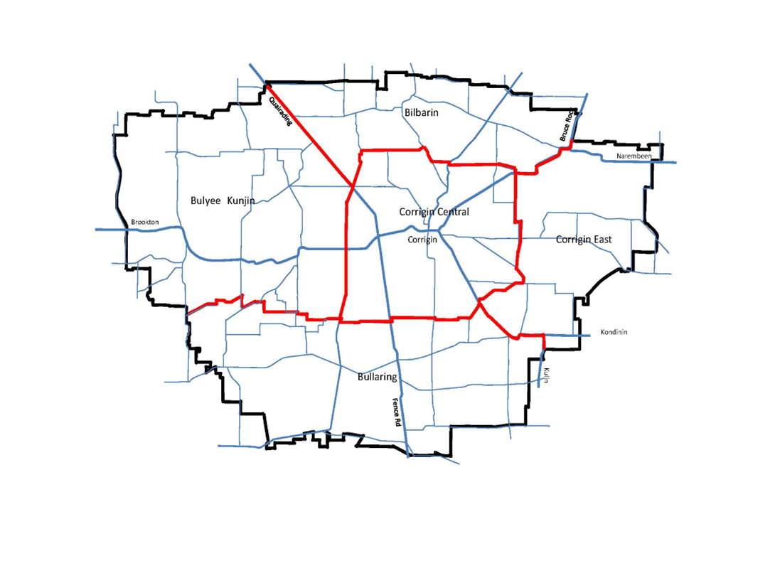
Shire Map